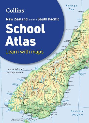
Collins New Zealand and the South Pacific School Atlas
(Paperback, 5th Revised edition)
Available Formats
Paperback, 4th Revised edition
Published: 23rd March 2015
Paperback, 5th Revised edition
Published: 18th September 2024
Publishing Details
Collins New Zealand and the South Pacific School Atlas
By (Author) Collins Maps
HarperCollins Publishers
Collins
18th September 2024
5th Revised edition
United Kingdom
Classifications
Primary and Secondary Educational
Non Fiction
Childrens / Teenage reference: Atlases and maps
912
Physical Properties
Paperback
64
Width 226mm, Height 312mm, Spine 4mm
270g
Description
This introductory atlas for secondary school students aged 11-14 is designed to help students develop map, atlas and data handling skills.
The content adheres closely to the requirements of the New Zealand and South Pacific school Curriculum. It features 80 pages of clear, easy to read maps, satellite images, an atlas skills section and hundreds of statistics.
Its clear and accessible layout will motivate pupils of all abilities at secondary school. An easy to follow introductory 'map and atlas skills' section, useful for both teacher and pupil, is followed by clear, easy to read reference maps presented with locator maps, fact boxes and flags, descriptive text, detailed map keys and photos.
The latest available country-by-country statistics are listed in a separate section and the index includes full latitude and longitude values.
Colour coding of the titling and marginalia aids the identification of the sections within the atlas.
Author Bio
Explore the world through accurate and up-to-date mapping.
