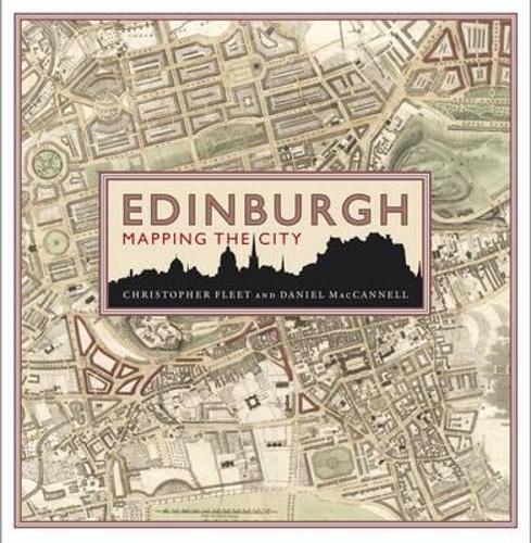
Edinburgh: Mapping the City
(Hardback)
Publishing Details
Edinburgh: Mapping the City
By (Author) Chris Fleet
By (author) Daniel MacCannell
Birlinn General
Birlinn Ltd
14th October 2014
United Kingdom
Classifications
General
Non Fiction
911.4134
Physical Properties
Hardback
303
Width 255mm, Height 255mm, Spine 35mm
1965g
Description
Maps can tell much about the story of a place that traditional histories fail to communicate. This is particularly true of Edinburgh, one of the most visually stunning cities in Europe and a place rich in historical and cultural associations. This lavishly illustrated book features 80 maps of Edinburgh which have been selected for the particular stories they reveal about different political, commercial and social aspects. Together, they present a fascinating insight into how Edinburgh has changed and developed over the last 500 years, and will appeal to all those with an interest in Edinburgh and Scottish history, as well as other audiences - those interested in urban history, architectural history, town planning and the history of cartography.
Reviews
'Perfect gift'
* Financial Times *'With remarkable talent and clarity, Fleet and MacCannell show maps to be much more than just items of use to find your way around. Together, they tell the tantalizing story of Edinburgh and of the people who made it into what it is today'
* Edinburgh Book Review *Author Bio
Chris Fleet studied Geography at the University of Durham. He is Senior Map Curator in the National Library of Scotland. In 2010, he was awarded the Fellowship of the Royal Scottish Geographical Society. He is co-author ofScotland: Mapping the Nation(Birlinn, 2012) andScotland: Mapping the Islands(Birlinn, 2016).
Daniel MacCannell, a graduate of Aberdeen University and UCLA Film School, is a widely published non-fiction writer. He is the author of How To Read Scottish Buildings and Oxford: Mapping the City.
