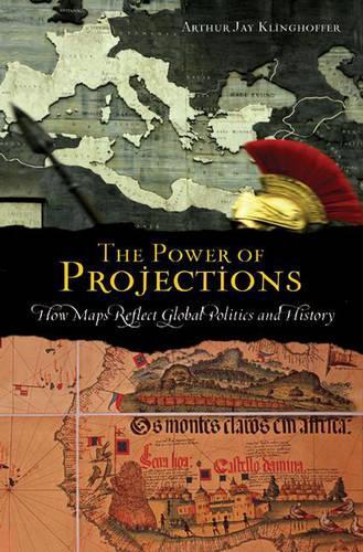
The Power of Projections: How Maps Reflect Global Politics and History
(Hardback)
Publishing Details
The Power of Projections: How Maps Reflect Global Politics and History
By (Author) Arthur Jay Klinghoffer
Bloomsbury Publishing PLC
Praeger Publishers Inc
30th April 2006
United States
Classifications
General
Non Fiction
General and world history
526
Physical Properties
Hardback
208
Width 156mm, Height 235mm
482g
Description
Why is Europe at the top half of maps and Africa at the bottom Although we are accustomed to that convention, it is, in fact, a politically motivated, almost entirely subjective way of depicting a ball spinning in space. As The Power of Projections teaches us, maps do not portray reality, only interpretations of it. To begin with, they are two-dimensional projections of a three-dimensional, spherical Earth. Add to that the fact that every map is made for a purpose and its design tends to reflect that purpose. Finally, a map is often a psychological projection of the historical, political, and cultural values of the cartographeror of the nation, person or organization for which the map was created. In this fascinating book, Klinghoffer examines the world perceptions of various civilizations and the ways in which maps have been formulated to serve the agendas of cartographers and their patrons. He analyzes the recent decline of sovereignty, the spread of globalization, the reassertion of ethnic identity, and how these trends affect contemporary mapmaking.
Reviews
The Earth is spherical: to represent it accurately on a flat surface, e.g., a piece of paper, is not mathematically possible. Approximations via projections are, however, legion. Klinghoffer provides readers with a global survey of cartographic practice established over several centuries, revealing that choice of markers is arbitrary. Parallels of latitude, meridians of longitude, location of the prime meridian, the fact that mapmakers now place north to the top of the map--all owe to cultural choice. All maps are made for a reason. Maps of politicians, salespeople, warmongers, and peacemakers are invariably designed for a cause--buyer, beware! Yet the aphorism one map is worth ten thousand words has so often proved true. Klinghoffer provides innumerable examples of an interdisciplinary nature in this book, revealing the way in which maps and their projections both reflect and determine human destinies. Endnotes and index are especially helpful adjuncts to an interesting book that will hold appeal for an extended readership. Recommended. All levels/libraries. * Choice *
In cartography, projection is the technique of representing the curved surface of the earth on a two-dimensional map; in political science, the projection of power is a polite way of saying military bullying. Klinghoffer finds that the two are not that different, and shows how the manner of making maps through the ages have reflected the political philosophies and aspirations of those who commissioned and used them. * Reference & Research Book News *
Crowded with interesting examples of geographical names as objects of political contention. Klinghoffer's work is worth a look. * Booklist *
[E]xamines how different cultures view the world through the study of maps. * Courier-Post (Cherry Hill, New Jersey) *
Author Bio
Arthur Jay Klinghoffer is Professor of Political Science at Rutgers University in Camden, New Jersey. He is the author of numerous books on a variety of subjects, among them, human rights, genocide, Soviet Communism, South African apartheid, and the politics of oil and gold.
