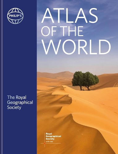
Philip's RGS Atlas of the World: 2026 edition
(Hardback)
Available Formats
Hardback
Published: 12th December 2023
Hardback
Published: 14th January 2025
Hardback
Published: 13th January 2026
Publishing Details
Philip's RGS Atlas of the World: 2026 edition
By (Author) Institute Of British Geographers
Illustrated by Stefan Chabluk
Illustrated by William Donohoe
By (author) Philip's Maps
Octopus Publishing Group
Philip's
13th January 2026
2nd October 2025
United Kingdom
Classifications
General
Non Fiction
Reference, Information and Interdisciplinary subjects
World / regional atlases or maps
Educational: Geography
Geography
Physical Properties
Hardback
448
Width 289mm, Height 368mm, Spine 286mm
Description
Packed with the latest statistics and filled with glorious images and cartography, the Philip's RGS Atlas of the World gives a striking view of the Earth's surface and its many complexities and treasures.
"This atlas brilliantly captures what a precious and impressive place we live in." Michael Palin "Beautifully put together, lavishly laid out. In a word - sumptuous!" Tim Marshall* Following the updated World Statistics, there is a new special feature on: Cities of Dreams It delves into the history of cities and urbanisation and the development of wealth and innovation alongside slums and desperation. The decline and rise of cities around the world are examined as are possible sustainable futures eg the 15-minute city. * Images of Earth encapsulate the planet using satellites, with images processed exclusively for this atlas, ranging from Nuuk, Greenland to Hanoi, Vietnam. * The extensive Gazetteer of Nations has been comprehensively updated to include the latest economic and political information. * In World Geography we provide detailed studies of topics from Climate Change and weather records to reviews of Global Wealth and Standards of Living; alongside the latest migration flow and population data. * World city plans: 70 of the world's greatest cities in 119 maps are shown in detail with locations of great public buildings and the largest museums and galleries. * In World Maps, we reflect the new networks of high-speed railways and roads in China and Mexico, a new link between Jakarta and Bandung in Indonesia, a new city of Ekurhuleni recognised as a separate city outside Johannesburg, South Africa, new provinces in Ethiopia, and more first nation names in New Zealand and other countries.Author Bio
Philip's has been at the forefront of creating maps and atlases since 1834. Whether a local street map or a fact-packed World Atlas, we use the most up-to-date technology, expertise and our global network to ensure our customers have all the information they need.
