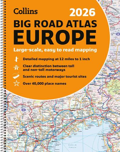
Collins 2026 Big Road Atlas Europe: Large scale, easy to read mapping (A3 Spiral Binding)
(Spiral bound)
Publishing Details
Collins 2026 Big Road Atlas Europe: Large scale, easy to read mapping (A3 Spiral Binding)
By (Author) Collins Maps
HarperCollins Publishers
Collins
13th August 2025
13th March 2025
United Kingdom
Classifications
General
Non Fiction
Travel maps and atlases
Road atlases and maps
Travel and Leisure maps
Travel guides: routes and ways, tracks and trails
Travel guides: road travel / road trips
912.4
Physical Properties
Spiral bound
192
Width 296mm, Height 385mm, Spine 12mm
1080g
Description
With fully-updated, large-scale mapping, there has never been an easier way to explore Europe by road.
This super-clear, detailed road mapping covers all the top European tourist destinations in a large, easy-to-read format. Bask on the French Riviera, relax in sunny Sicily or discover the Dalmatian Coast; plot any of these trips with this comprehensive and accessible A3, spiral-bound atlas.
With main mapping at a scale of 12 miles to the inch, this Road Atlas of Europe is our clearest yet.
Main features
- 116 super-size main mapping pages
- 12 additional pages of route planning mapping for long distances
- Accessible, large print font
- Clarifies toll and toll free motorways for ease of use
- Scenic routes identified and highlighted
- Easy-to-use, large A3 size with handy spiral binding
- Full road classification
- Local town and city names match up with local road signs to aid navigation
- Legible and easy to read index
- Major European routes shown
Coverage of the whole of Europe at route planning scale with super-scale mapping of mainland Europe from France and Spain in the west, through Germany and Italy, to Poland, the Balkans and Greece in the Southeast.
Mapping Scales
- 116 pages of super-scale mapping 12 miles to the inch (1:760,000)
- 12 pages of route planning maps 55 miles to the inch (1:3,500,000)
Reviews
The use of light colours in the maps and a 3.2mpi scale make the Collins Essential easy to read at a glance Auto Express
Author Bio
Explore the world through accurate and up-to-date mapping.
