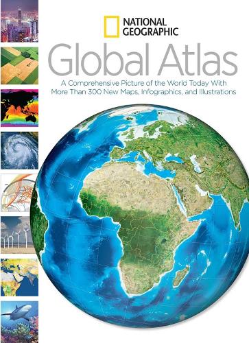
National Geographic Global Atlas: A Comprehensive Picture of the World Today
(Hardback)
Publishing Details
National Geographic Global Atlas: A Comprehensive Picture of the World Today
By (Author) National Geographic
National Geographic Society
National Geographic Society
2nd January 2014
United States
Classifications
General
Non Fiction
912
Physical Properties
Hardback
336
Width 237mm, Height 309mm
Description
"From the changing shape of the warming northern polar region to the southern end of the globe in Antarctica, this atlas offers extraordinary new cartographic coverage of the entire globe." From the changing shape of the warming northern polar region to the southern end of the globe in Antarctica, this atlas offers extraordinary new cartographic coverage of the entire globe.Through state-of-the-art maps and cutting-edge graphic design, this completely updated atlas covers the latest geopolitical developments and illuminates the important trends that grip the planet. From new political maps that review areas of turbulent civil strife in the Middle East to thematic spreads that highlight freshwater scarcity, climate and global warming, population growth, and more, this innovative book addresses the world's challenges and celebrates its wonders. Filled with dynamic infographics and compelling annotations and captions, NATIONAL GEOGRAPHIC GLOBAL ATLAS documents the critical facts, developments, and trends of our ever-evolving human and natural landscape.
Author Bio
National Geographic cartographers bring nearly a century of mapmaking experience and cutting-edge technology to bear on every atlas product. In this 21st century, techniques used in digital mapping have undergone remarkable changes. Today, satellite and digital imaging technology, GPS, and GIS technologies provide cartographers with state-of-the-art tools to map and animate the Earth and its myriad regions--from far above and up close--across all seven continents and the interconnected oceans. Leveraging these emerging technologies to build smart, functional, informative atlases with award-winning designs is one of the great strengths of National Geographic.
