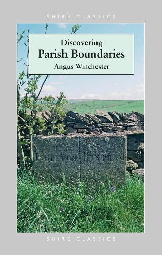
Discovering Parish Boundaries
(Paperback)
Publishing Details
Discovering Parish Boundaries
By (Author) Angus Winchester
Illustrated by Angus Winchester
Bloomsbury Publishing PLC
Shire Publications
1st September 2000
United Kingdom
Classifications
General
Non Fiction
Social and cultural history
941
Physical Properties
Paperback
96
Width 113mm, Height 177mm
162g
Description
Recorded only by dotted lines on an Ordnance Survey map, or sometimes marked on the land by half-forgotten mossy stones, parish boundaries are a fascinating part of our heritage. One of the most enduring elements in the landscape, they sometimes date back to Anglo-Saxon times, and often preserve the memory of events that happened centuries ago. They follow hedgerows, roads, footpaths, streams and rivers, or cut across the landscape in an apparently random way. The study of these boundaries is increasingly popular among historians and archaeologists, and this handbook brings the subject within reach of the general reader.
Author Bio
Angus Winchester became fascinated by parish boundaries as a sixth-former when he realised that the bounds described in an 800-year-old charter of land near his home town of Cockermouth in Cumbria followed the same line as the parish boundary shown on the modern Ordnance Survey map. After studying geography at Durham University, he completed a PhD thesis on medieval settlement in Cumbria and continues to have a special interest in and affection for theat part of England. He is now Senior Lecturer in History at Lancaster University.
