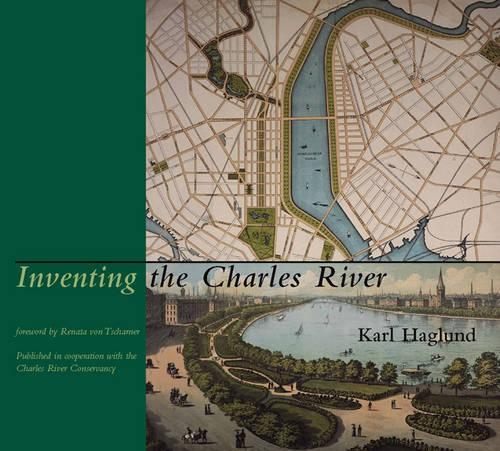
Inventing the Charles River
(Hardback)
Publishing Details
Inventing the Charles River
By (Author) Karl Haglund
MIT Press Ltd
MIT Press
22nd November 2002
United States
Classifications
Professional and Scholarly
Non Fiction
Environmental management
Regional and area planning
Social and cultural history
333.9162150974461
Winner of
Physical Properties
Hardback
515
Width 254mm, Height 229mm, Spine 44mm
2078g
Description
The Charles River Basin, extending nine miles upstream from the harbor, has been called Boston's "Central Park." Yet few realize that this apparently natural landscape is a totally fabricated public space. Two hundred years ago the Charles was a tidal river, edged by hundreds of acres of salt marshes and mudflats. This volume describes how, before the creation of the basin could begin, the river first had to be imagined as a single public space. The new esplanades along the river changed the way Bostonians perceived their city; and the basin, with its expansive views of Boston and Cambridge, became an iconic image of the metropolis. The book focuses on the precarious balance between transportation planning and stewardship of the public realm. Long before the esplanades were realized, great swaths of the river were given over to industrial enterprises and transportation--millponds, bridges, landfills, and a complex network of road and railway bridges. In 1929, Boston's first major highway controversy erupted when a four-lane road was proposed as part of a new esplanade. At 20-year intervals, three riverfront road disputes followed, successively more complex and disputatious, culminating in the lawsuits over "Scheme Z," the Big Dig's plan for eighteen lanes of highway ramps and bridges over the river. More than three hundred photographs, maps, and drawings illustrate past and future visions for the Charles and document the river's place in Boston's history.
Reviews
A remarkable and beautiful book outlining the origins of the famed and admired Charles River.
Dennis Lythgoe, Deseret News, Salt Lake City, Utaha superb book.
The Boston Sunday Globe Magazine...[a] fascinating fact-packed and photo-filled book.
Boston MetroHaglund has fascinating stories to tell...serious students of urban development will be engrossed.
H. Nolan, ASLAInventing the Charles River is a fascinating account of how a great urban area acquired its current shape.
Philip Langdon, New Urban NewsInventing the Charles River makes it hard to think about the Charles in the same way again.
Max Page, Architecture Boston...lavishly illustrated with maps, etchings, lithographs, drawings, paintings, and photographs...
APA...[Tells] a sweeping, detailed story of the directed evolution that produced the Charles that Bostonians and tourists cherish today.
Civil EngineeringThe book swells with Haglund's excellent research and hundreds of illuminating maps, photographs, and plans.
Michael B. Shavelson, BostoniaThroughly fascinating...
Michael Kenney, Boston GlobeAuthor Bio
Karl Haglund is project manager for the New Charles River Basin at the Massachusetts Department of Conservation and Recreation.
