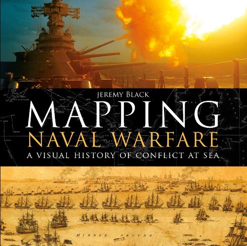
Mapping Naval Warfare: A visual history of conflict at sea
(Hardback)
Available Formats
Publishing Details
Mapping Naval Warfare: A visual history of conflict at sea
By (Author) Jeremy Black
Bloomsbury Publishing PLC
Osprey Publishing
1st November 2017
United Kingdom
Classifications
General
Non Fiction
Cartography, map-making and projections
Ships and boats: general interest
Photography and photographs
Historical maps and atlases
Naval forces and warfare
Maritime history
359.009
Physical Properties
Hardback
192
Width 286mm, Height 290mm, Spine 24mm
1600g
Description
Naval operations and warfare were, and remain, a key element for mapping. Maps were vital for commanders in drawing up plans of attack, and their detail and usefulness have increased over the centuries as the science of mapping has developed. This beautiful book examines stunning original maps from a series of key conflicts from the Spanish Armada, the American Wars of Independence, and the Napoleonic wars to twentieth century conflicts from the First World War to Vietnam, and explains how they were represented through mapping and how the maps produced helped naval commanders to plan their strategy.
Author Bio
Jeremy Black, internationally known military historian and Professor of History at the University of Exeter, is the author of The Cold War: A Military History, Rethinking World War Two: The Conflict and its Legacy and Metropolis, among many others. He is also a keen writer on maps and their history.
