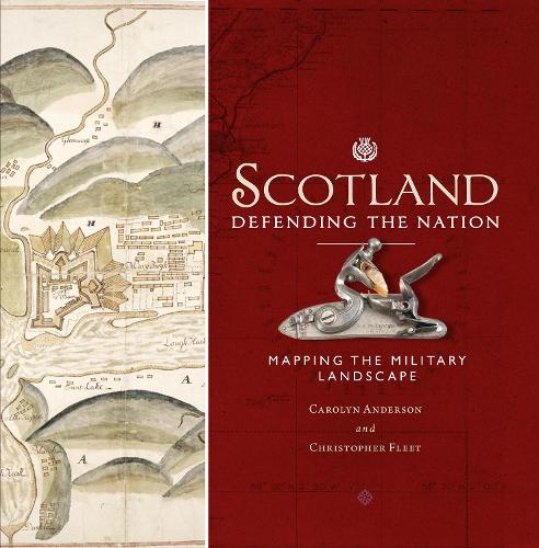
Scotland: Defending the Nation: Mapping the Military Landscape
(Hardback)
Publishing Details
Scotland: Defending the Nation: Mapping the Military Landscape
By (Author) Carolyn Anderson
By (author) Chris Fleet
Birlinn General
Birlinn Ltd
1st January 2019
11th October 2018
United Kingdom
Classifications
General
Non Fiction
Military and defence strategy
Cartography, map-making and projections
Historical maps and atlases
941.100223
Physical Properties
Hardback
240
Width 255mm, Height 255mm, Spine 25mm
1532g
Description
Scotland has had a uniquely important military history over the last five centuries. Conflict with England in the 16th century, Jacobite rebellions in the 18th century, 20th-century defences and the two world wars, as well as the Cold War, all resulted in significant cartographic activity.
In this book two map experts explore the extraordinary rich legacy of Scottish military mapping, showing and explaining the variety of military maps produced for different purposes, including fortification plans, reconnaissance mapping, battle plans, military roads and route-way plans, tactical maps, plans of mines, enemy maps showing targets, as well as plans showing the construction of defences. In addition to plans, elevations, and views, they also discuss unrealised proposals and projected schemes. Many of these maps are both striking and attractive, and have been selected for the particular stories they tell about attacking and defending the country.
Reviews
'The maps make this book what it is. They are placed front and centre and the authors provide a wealth of detail as to what was included and why. The quality and range of images used mean it is a must-own for map-enthusiasts [and] those with a more casual interest in Scotlands military past'
* History Scotland *'This very well-crafted book embodies a paradox. The gruesome purpose of maps produced for the waging of war has resulted in a sumptuous-looking book'
* GeoLounge.com *'Full of unexpected historical insights, gloriously illustrated. This is a book to be savoured'
* Shetland Times *'A beautiful and almost compulsively readable book. It tells the story of how Britains defences were represented, as often with demonstrative pride as with secrecy, from the time of the Rough Wooing in 1543 to the Cold War'
-- Brian Morton * Herald *'Charts the fascinating story of our nation's conflicts, a significant contribution to the work of this country's historians'
* The National *Author Bio
Chris Fleet studied Geography at the University of Durham. He is Senior Map Curator in the National Library of Scotland. In 2010, he was awarded the Fellowship of the Royal Scottish Geographical Society. He is co-author ofScotland: Mapping the Nation(Birlinn, 2012) andScotland: Mapping the Islands(Birlinn, 2016).
Carolyn Anderson completed a PhD on the Board of Ordnance military mapping of Scotland in 2010. Prior to this she was a cartographic editor at Oxford University Press. She continues to work in educational publishing and academic research.
