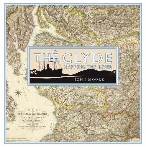
The Clyde: Mapping the River
Publishing Details
The Clyde: Mapping the River
By (Author) John Moore
Birlinn General
Birlinn Ltd
5th October 2017
5th October 2017
United Kingdom
Classifications
General
Non Fiction
Historical maps and atlases
Social and cultural history
History and Archaeology
European history
Cartography, map-making and projections
941.400223
Physical Properties
288
Width 255mm, Height 255mm, Spine 33mm
1810g
Description
The Clyde is arguably the most evocative of Scottish rivers. Its mention conjures up a variety of images of power, productivity and pleasure from its 'bonnie banks' through the orchards of south Lanarkshire to its association with shipbuilding and trade and the holiday memories of thousands who fondly remember going 'doon the watter'. Its story reflects much of the history of the lands it flows through and the people who live on its banks.
This book looks at the maps which display the river itself from its source to the wide estuary which is as much a part of the whole image. It discusses how the river was mapped from its earliest depictions and includes such topics as navigation, river crossings, war and defence, tourism, sport and recreation, industry and power and urban development.
Reviews
'This book beautifully presents the many layers of meaning that are represented by those two words, The Clyde. Thoroughly recommended'
* Scottish Local History *Author Bio
John Moore is a specialist on Scottish cartography and has published widely on the subject over a period of many years. He is currently Collections Manager at Glasgow University. He is the author of Glasgow: Mapping the City (Birlinn, 2015).
