Ireland: Mapping the Island
(Hardback)
Publishing Details
Ireland: Mapping the Island
By (Author) Joseph Brady
By (author) Paul Ferguson
Birlinn General
Birlinn Ltd
9th January 2026
2nd October 2025
United Kingdom
Classifications
General
Non Fiction
Social and cultural history
European history
Local history
Cartography, map-making and projections
Historical maps and atlases
Physical Properties
Hardback
272
Width 246mm, Height 250mm, Spine 35mm
1736g
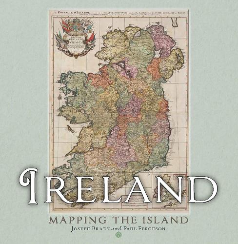
Description
Maps allow us to see how the world is organised spatially and show us relationships which cannot be understood from simply reading a text. This magnificent book highlights a vast selection of maps that range across the centuries and cover every part of the island, shedding light on the history and development of Ireland.
The themes are many and varied, from conquest and colonisation, the management of the landscape, natural resources, meeting the needs of tourists, transport, the growth of urban centres as well as exploring how others saw Ireland, and much more besides. Carefully selected by two noted map experts, this highly visual book tells the story of Ireland in a unique and stimulating way.
Author Bio
Joseph (Joe) Brady taught in the school of Geography at University College Dublin. He has been writing about the development of Dublin for many years and is one of the leading experts in the field.
Paul Ferguson is Map Librarian at Trinity College Library, Dublin.
