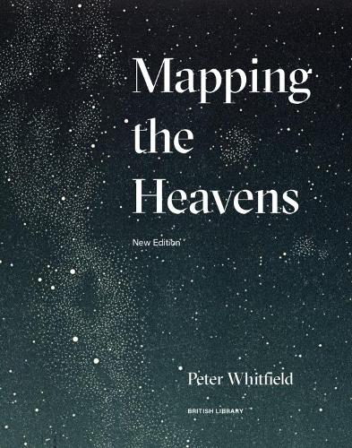
Mapping the Heavens
(Paperback, New edition)
Publishing Details
Mapping the Heavens
By (Author) Peter Whitfield
British Library Publishing
The British Library Publishing Division
19th June 2018
19th March 2018
New edition
United Kingdom
Classifications
General
Non Fiction
Historical maps and atlases
523.10222
Physical Properties
Paperback
192
Width 220mm, Height 280mm
Description
Throughout history people have sought ways in which to map the heavens. From the sources of mathematics and mythology sprang the classic star chart, the finest examples of which are both scientific documents and works of art. In this beautifully illustrated book, Peter Whitfield reveals some of the ways in which the structure of the universe has been conceived, explained and depicted. With examples ranging from the Stone Age to the Space Age - ancient observatories, the angelic visions of Dante, images from the Copernican revolution, the rationalized heavens of Isaac Newton, and modern deep space technology - Whitfield offers a challenging exploration of the tension between rigorous scientific knowledge and the continuing search for cause, certainty and harmony in the universe. This new edition is updated to include a wider range of stunning maps of the skies in full colour, including imagery from the latest voyages of space exploration.
Author Bio
Peter Whitfield is an independent scholar and leading expert in map history and exploration. His other books include Charting the Oceans and London: A Life in Maps.
