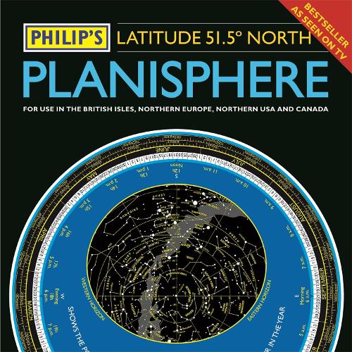
Philip's Planisphere (Latitude 51.5 North): For use in Britain and Ireland, Northern Europe, Northern USA and Canada
(Hardback)
Publishing Details
Philip's Planisphere (Latitude 51.5 North): For use in Britain and Ireland, Northern Europe, Northern USA and Canada
By (Author) Philip's Maps
Octopus Publishing Group
Philip's
6th September 2018
20th September 2018
United Kingdom
Classifications
General
Non Fiction
523.80223
Physical Properties
Hardback
2
Width 296mm, Height 304mm, Spine 10mm
225g
Description
The first thing that every stargazer needs - an hour-by-hour and night-by-night moveable map of the stars
'A really useful bit of kit...a map of the night sky for any time of the year' Mark Thompson, TV Astronomer on BBC Stargazing Live Just turn the disc and 'dial up' tonight's night sky Accurate sky map for every hour of every night 24/7/365 Simple and fun to use for beginners - and an essential tool for experienced astronomers All the stars and constellations down to magnitude 5 (visible with the naked eye) Planet Tracker for the major visible planets Full instructions and hints on exploring the skies by season Suitable for UK, Ireland, Northern Europe, Canada and Northern USA (51.5N plus or minus 10 degrees)Author Bio
Philip's has been at the forefront of creating maps and atlases since 1834. Whether a local street map or a fact-packed World Atlas, we use the most up-to-date technology, expertise and our global network to ensure our customers have all the information they need.
