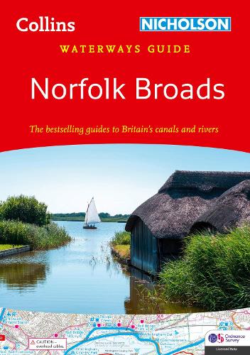
Norfolk Broads: For everyone with an interest in Britains canals and rivers (Collins Nicholson Waterways Guides)
(Spiral bound)
Publishing Details
Norfolk Broads: For everyone with an interest in Britains canals and rivers (Collins Nicholson Waterways Guides)
By (Author) Nicholson Waterways Guides
HarperCollins Publishers
Nicholson
3rd November 2022
3rd February 2022
United Kingdom
Classifications
General
Non Fiction
Travel and holiday guides
914.261704862
Physical Properties
Spiral bound
96
Width 148mm, Height 210mm, Spine 10mm
160g
Description
Explore Britain's canals and rivers with the Nicholson bestselling guides.
For all users of the inland waterways. This popular and practical guide covers the waterways of the Broads National Park, including the Norfolk and Suffolk Broads and the Rivers Ant, Bure, Thurne, Wensum, Yare, Chet and Waveney.
The detailed Ordnance Survey maps clearly show the location of essential features such as boating facilities, as well as pubs, shops and restaurants in the area. There are comprehensive navigational notes and descriptive text on the history of The Broads, and on local services and places of interest, for which postcodes are included ideal for use with sat-navs. Scale: 2 inches = 1 mile, 3 cm = 1 km.
This practical A5 guide features 'lie flat' spiral binding and 'book mark' back cover flap for ease of reference.
The Broads are one of Britain's best-known holiday boating areas. They make up Britain's largest and most important protected wetland and are a national park providing a home to some of the rarest plants and animals in the country. A unique and enchanting wetland, with over 125 miles of lock-free navigable tidal waters, all waiting to be explored.
Nicholson's The bestselling guides to Britain's Waterways.
Reviews
"few serious boaters will venture out without a Nicholson's Guide. There is a wealth of informationand the guides are valuable for cyclists and walkers too." The Inland Waterways Association.
Author Bio
Explore the world through accurate and up-to-date mapping.
