To view prices and purchase online, please login, or register for an account.
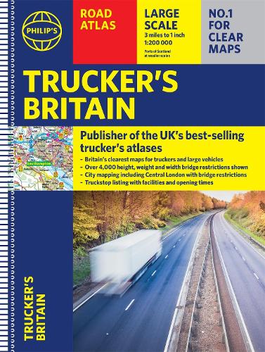
Philip's Trucker's Road Atlas of Britain: (Spiral A3)
(Spiral bound)
Publishing Details
Full Title:
Philip's Trucker's Road Atlas of Britain: (Spiral A3)
Contributors:
By (Author) Philip's Maps
Series:
Publisher:
Octopus Publishing Group
Imprint:
Philip's
Publication Date:
14th December 2021
UK Publication Date:
7th October 2021
Country:
United Kingdom
Classifications
Readership:
General
Genre:
Fiction/Non-fiction:
Non Fiction
Main Subject:
Other Subjects:
Road atlases and maps
Road transport and haulage trades
Dewey:
912.41
Physical Properties
Physical Format:
Spiral bound
Number of Pages:
168
Dimensions:
Width 294mm, Height 392mm, Spine 10mm
Weight:
1000g
Description
PHILIP'S - THE ATLAS BRAND FOR TRUCKERS, CARAVANNERS AND OTHER SERIOUS ROAD USERS
"The best of its kind with quick and easy to use information" Fleet Week - Essential for Truckers (and very useful for Caravanners too)- Over 4,000 bridges with restrictions - either height, weight or width - located on the maps- Super-clear maps of the UK at 1:200,000 (Northern Scotland 1:250,000) - Special Feature: "Bridge Strikes" (including "Most Hit Bridges", numbering approximately 50, which includes all bridges struck five or more time in a 12-month period- Lists Restricted Motorway Junctions with explanations - Truck stop listings and location maps, including the facilities and opening times- Big format and spiral binding - easy-to-use on the road- 12 pages of urban area maps with bridge restrictions- Central London maps - with bridge restrictions'Even though I have a satnav I find a map essential for planning in stops on long routes.' a trucker customerAuthor Bio
Philip's has been at the forefront of creating maps and atlases since 1834. Whether a local street map or a fact-packed World Atlas, we use the most up-to-date technology, expertise and our global network to ensure our customers have all the information they need.
