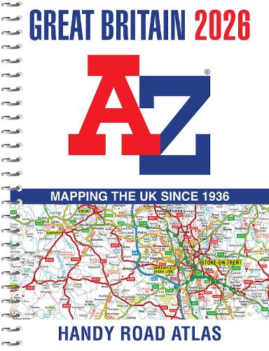
Great Britain A-Z Handy Road Atlas 2026 (A5 Spiral)
(Spiral bound)
Publishing Details
Great Britain A-Z Handy Road Atlas 2026 (A5 Spiral)
By (Author) A-Z Maps
HarperCollins Publishers
HarperCollins
2nd July 2025
13th March 2025
United Kingdom
Classifications
General
Non Fiction
912.41
Physical Properties
Spiral bound
256
Width 142mm, Height 192mm, Spine 14mm
300g
Description
Navigate your way around Great Britain with this detailed and easy-to-use A-Z Road Atlas
A full-colour, spiral bound road atlas, now fully revised and updated. Clear detailed road mapping at a scale of 5 miles to 1 inch. Presented in a compact A5 size for ease of storage.
This handy road atlas of Great Britain includes:
- Mileage chart
- Channel Tunnel terminus maps
- Index to cities, towns, villages, hamlets and major destinations
- Map reference information also in French and German
Instantly recognisable and easy to use, the road mapping has been specifically tailored for the smaller scale featuring: clear standard road classification colours for easy identification, motorway junction symbols, under construction and proposed roads, primary route destinations, service areas, National and county boundaries, and a wide range of tourist and ancillary information, including Blue Flag Beaches.
This A-Z Handy Road Atlas of Great Britain and Northern Ireland is the perfect choice for those wanting a compact spiral bound publication with A-Z quality road mapping.
Author Bio
Geographers' Map Company Ltd. (A-Z Maps) was established in London on 25 August 1936. The company's most famous publication, the iconic A-Z Atlas and Guide to London, was created by Phyllis Pearsall, the founder of A-Z, who explored every street in London to create the first edition. Since then, A-Z has become the trusted source for street maps and atlases, as well as developing Visitors' Guides, Road Atlases and the Adventure Map series for walkers.
