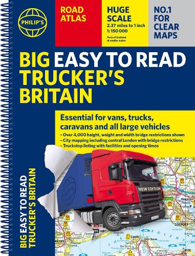
Philip's Big Easy to Read Trucker's Road Atlas Britain: Over 4,000 bridges mapped (A3 Spiral)
(Spiral bound)
Publishing Details
Philip's Big Easy to Read Trucker's Road Atlas Britain: Over 4,000 bridges mapped (A3 Spiral)
By (Author) Philip's Maps
Octopus Publishing Group
Philip's
11th November 2025
7th August 2025
United Kingdom
Classifications
General
Non Fiction
Road transport and haulage trades
912.41
Physical Properties
Spiral bound
208
Width 294mm, Height 388mm, Spine 14mm
1149g
Description
PHILIP'S - THE ATLAS BRAND FOR TRUCKERS, CARAVANNERS AND OTHER SERIOUS ROAD USERS
'The best of its kind with quick and easy to use information' Fleet Week - Essential, large, easy-to-read mapping for Truckers (and for Caravanners, too) - Over 4,000 bridges with restrictions - either height, weight or width - located on the maps- Super-clear scale maps of the UK - 'the detail you need at a size you can read'- Special Feature: 'Bridge Strikes' (including 'Most Hit Bridges' - all bridges struck five or more times in a year)- Truck stop/large vehicle listings and location maps, including the facilities and opening times- All approach mapping/urban area maps with bridge restrictions- Large-print index - with 30,000 names- Big format and spiral binding - easy-to-use and easy-to-read on the road'Even though I have a satnav I find a map essential for planning in stops on long routes.' a trucker customerThe new Philip's Big Easy to Read Trucker's Road Atlas Britain shows over 4,000 bridges with restrictions - either height, weight or width - and is indispensable for anyone driving a large vehicle, caravan or lorry. Super-clear, large-print maps and packed with the most useful information for drivers of large vehicles.Reviews
I was recently diverted off the M1 with a 15' 6' and this atlas got me through without hitting a low bridge. -- John Richards
The map is the best on the market - clean, easy to read -- Jim Nelson
Money well spent and huge savings avoiding buying a modern truck Satnav. -- Jan Ali
Author Bio
Philip's has been at the forefront of creating maps and atlases since 1834. Whether a local street map or a fact-packed World Atlas, we use the most up-to-date technology, expertise and our global network to ensure our customers have all the information they need.
