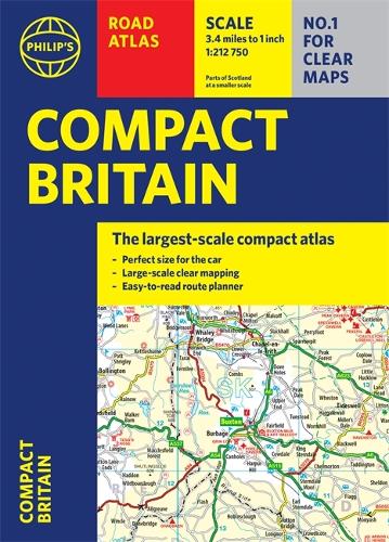
Philip's Compact Britain Road Atlas: (Flexi A5)
(Paperback)
Available Formats
Publishing Details
Philip's Compact Britain Road Atlas: (Flexi A5)
By (Author) Philip's Maps
Octopus Publishing Group
Philip's
12th July 2022
17th March 2022
United Kingdom
Classifications
General
Non Fiction
912.41
Physical Properties
Paperback
352
Width 150mm, Height 212mm, Spine 20mm
565g
Description
Fully up-to-date in a handy flexibound format, Philip's Compact Britain Road Atlas features the super-clear digital cartography, which was voted Britain's clearest and most detailed mapping in an independent consumer survey.
All of Great Britain in a super-clear set of maps specially created to fit in a glovebox, bag or backpack with resilient flexi binding to ensure you have the detail you need and never get lost. There are larger route-planning sections to help you navigate around the island easily and every part of Britain is clearly mapped. - Chunky 'glovebox' format - perfect for the car or backpack- Flexibound for robust, long-lasting use - Completely updated and revised with the latest roads and zones for 2022 - The clearest, most detailed road maps in a compact format - Complete coverage of Great Britain at 3.3 miles to 1 inch - Includes a 6-page route-planning section - Great valueAuthor Bio
Philip's has been at the forefront of creating maps and atlases since 1834. Whether a local street map or a fact-packed World Atlas, we use the most up-to-date technology, expertise and our global network to ensure our customers have all the information they need.
