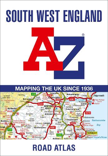
South West England A-Z Road Atlas
(Paperback)
Publishing Details
South West England A-Z Road Atlas
By (Author) A-Z Maps
HarperCollins Publishers
HarperCollins
2nd August 2023
13th April 2023
United Kingdom
Classifications
General
Non Fiction
Travel and Leisure maps
912.423
Physical Properties
Paperback
48
Width 169mm, Height 238mm, Spine 3mm
120g
Description
This full-colour road atlas features 30 pages of continuous road mapping. Includes Cornwall, Devon, Dorset, Plymouth Somerset and Torbay.
Published at a clear 2.5 miles to 1 inch the following features are shown on the road mapping:
Motorways with full junction detail, primary routes and destinations, A & B roads, under construction and proposed roads, service areas, tolls, mileages, county and unitary authority boundaries
Selected places of interest and tourist information centres
Also included are 3 city plans for Exeter, Plymouth and Taunton.
The comprehensive index section lists cities, towns, villages, hamlets and locations covered by this atlas.
Author Bio
Geographers' Map Company Ltd. (A-Z Maps) was established in London on 25 August 1936. The company's most famous publication, the iconic A-Z Atlas and Guide to London, was created by Phyllis Pearsall, the founder of A-Z, who explored every street in London to create the first edition. Since then, A-Z has become the trusted source for street maps and atlases, as well as developing Visitors' Guides, Road Atlases and the Adventure Map series for walkers.
