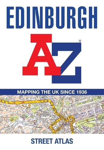
Edinburgh A-Z Street Atlas: Accurate street map for easy navigation
(Paperback, 11th Revised edition)
Publishing Details
Edinburgh A-Z Street Atlas: Accurate street map for easy navigation
By (Author) A-Z Maps
HarperCollins Publishers
HarperCollins
30th September 2025
27th March 2025
11th Revised edition
United Kingdom
Classifications
General
Non Fiction
Place names and gazetteers
912.4134
Physical Properties
Paperback
92
Width 149mm, Height 215mm, Spine 10mm
140g
Description
Navigate your way around Edinburgh with this detailed and easy-to-use A-Z Street Atlas.
Printed in full-colour, paperback format, this atlas contains 45 pages of continuous street mapping.
The main mapping extends beyond central Edinburgh at a scale of 3.33 inches to 1 mile, featuring postcode districts, one-way streets, park and ride sites, and safety camera locations. Areas covered include:
- South Queensferry
- Leith
- Prestonpans
- Tranent
- Musselburgh
- Dalkeith
- Bonnyrigg
- Loanhead
- Gorebridge
- Penicuik
- Balerno
- Edinburgh Airport
The large-scale street map of Edinburgh city centre at a scale of 6.67 inches to 1 mile includes:
- Places of Interest Guide, highlighting the citys major tourist attractions and world-famous Edinburgh Festival
- Postcode map of the Edinburgh area
- Road map of the Edinburgh area
- Diagrammatic map of rail and tram connections
A comprehensive index lists streets, selected flats, walkways and places of interest, place, area and station names. Additional healthcare (hospitals, walk-in centres and hospices) and transport connections (Edinburgh Tramway stops) are indexed as well.
Author Bio
Britains leading street map publisher providing cartographic services, digital data products and paper mapping publications (including Street Atlases, Visitors Guides, Great Britain Road Atlases and The Adventure Series).
