Greater Glasgow A-Z Street Atlas
(Paperback, 7th Revised edition)
Publishing Details
Greater Glasgow A-Z Street Atlas
By (Author) A-Z Maps
HarperCollins Publishers
HarperCollins
7th June 2023
30th March 2023
7th Revised edition
United Kingdom
Classifications
General
Non Fiction
Place names and gazetteers
Travel guides: routes and ways, tracks and trails
Travel and Leisure maps
912.4144
Physical Properties
Paperback
288
Width 201mm, Height 297mm, Spine 13mm
820g
Description
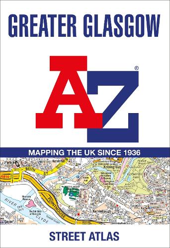
Navigate your way in and around Glasgow with this detailed and easy-to-use A-Z Street Atlas.
Printed in full-colour, paperback format, this A4 atlas contains 168 pages of continuous street mapping. More than 23,000 streets indexed.
The main mapping extends well beyond central Glasgow at a scale of 5.4 inches to 1 mile, featuring postcode districts, one-way streets and park and ride sites.
Areas covered include Hamilton, Motherwell, Paisley, Clydebank, Coatbridge, Airdrie, Renfrew, Kirkintilloch, Dumbarton, Milngavie, Cumbernauld, Johnstone, Barrhead, East Kilbride, Larkhall, Carluke.
The large-scale street map of Glasgow city centre is at a scale of 10.82 inches to 1 mile.
The atlas also includes:
Postcode map of the Glasgow area
Road map of the Glasgow area
Diagrammatic map of rail and subway connections
A comprehensive index lists streets, places & areas, industrial estates, selected flats & walkways, junction names & service areas, stations and selected places of interest.
Author Bio
Geographers' Map Company Ltd. (A-Z Maps) was established in London on 25 August 1936. The company's most famous publication, the iconic A-Z Atlas and Guide to London, was created by Phyllis Pearsall, the founder of A-Z, who explored every street in London to create the first edition. Since then, A-Z has become the trusted source for street maps and atlases, as well as developing Visitors' Guides, Road Atlases and the Adventure Map series for walkers.
