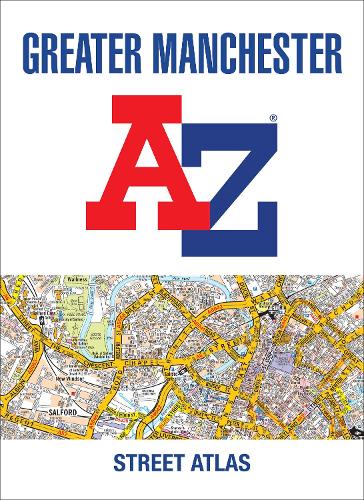
Greater Manchester A-Z Street Atlas
(Paperback, 7th Revised edition)
Publishing Details
Greater Manchester A-Z Street Atlas
By (Author) A-Z Maps
HarperCollins Publishers
HarperCollins
14th April 2022
7th Revised edition
United Kingdom
Classifications
General
Non Fiction
912.4273
Physical Properties
Paperback
240
Width 216mm, Height 297mm, Spine 11mm
730g
Description
Navigate your way around Manchester with this detailed and easy-to-use A-Z Street Atlas.
Printed in full-colour, paperback format, this atlas contains 122 pages of continuous street mapping.
Coverage extends to: Bolton, Bury, Oldham, Wigan, Rochdale, Salford, Stockport, Ashton-in-Makerfield, Altrincham, Ashton-under-Lyne, Cheadle, Leigh, Littleborough, Macclesfield, Ramsbottom, Stalybridge, Standish, Wilmslow.
There is separate coverage of Knutsford and large scale city and town centre maps of:Manchester, Altrincham, Ashton-under-Lyne, Bolton, Bury, Oldham, Rochdale, Stockport, Wigan.
Postcode districts, one-way streets and National Park boundaries are also featured on the mapping.
Also included are:
a postcode map of the Greater Manchester area
a road map of the Greater Manchester area
a Manchester Rail and Metrolink Connnections map
The index section lists streets, selected flats, walkways and places of interest, place and area names, National Rail and Metrolink station names, hospitals, hospices and NHS Walk-in Centres.
Author Bio
A-Z maps are the largest independent map publisher in the United Kingdom providing cartographic services, digital data products and paper mapping publications (including Street Atlases, Visitors Guides, Great Britain Road Atlases and The Adventure Atlas).
