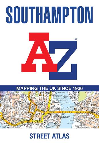
Southampton A-Z Street Atlas: Accurate street map for easy navigation
(Paperback, Tenth edition)
Available Formats
Paperback, 9th Revised edition
Published: 2nd June 2021
Paperback, Tenth edition
Published: 30th September 2025
Publishing Details
Southampton A-Z Street Atlas: Accurate street map for easy navigation
By (Author) A-Z Maps
HarperCollins Publishers
HarperCollins
30th September 2025
22nd May 2025
Tenth edition
United Kingdom
Classifications
General
Non Fiction
Place names and gazetteers
912.42276
Physical Properties
Paperback
80
Width 149mm, Height 215mm, Spine 5mm
120g
Description
Navigate your way around Southampton with this detailed and easy-to-use A-Z Street Atlas.
Printed in full-colour, paperback format, this atlas contains 50 pages of continuous street mapping.
The main mapping extends beyond central Southampton at a scale of 4 inches to 1 mile, featuring postcode districts, one-way streets, park and ride sites, and safety camera locations. Areas covered include:
Eastleigh
Fawley
Hythe
Romsey
Southampton Airport
Totton
Chandler's Ford
Hamble-le-Rice
Hedge End
North Baddesley
The large-scale street map of Southampton city centre at a scale of 8 inches to 1 mile includes:
Postcode map of the Southampton area
Road map of the Southampton area
New Forest National Park boundaries
A comprehensive index lists streets, selected flats, walkways and places of interest, place, area and station names. Additional healthcare (hospitals, walk-in centres and hospices) are indexed as well.
Author Bio
Britains leading street map publisher providing cartographic services, digital data products and paper mapping publications (including Street Atlases, Visitors Guides, Great Britain Road Atlases and The Adventure Atlas).
