The Great Arc: The Dramatic Tale of How India was Mapped and Everest was Named
(Paperback)
Publishing Details
The Great Arc: The Dramatic Tale of How India was Mapped and Everest was Named
By (Author) John Keay
HarperCollins Publishers
HarperCollins
31st July 2001
20th August 2010
United Kingdom
Classifications
General
Non Fiction
Surveying, quantity surveying
Travel and Leisure maps
Asian history
526.90954
Physical Properties
Paperback
224
Width 129mm, Height 198mm, Spine 13mm
179g
Description
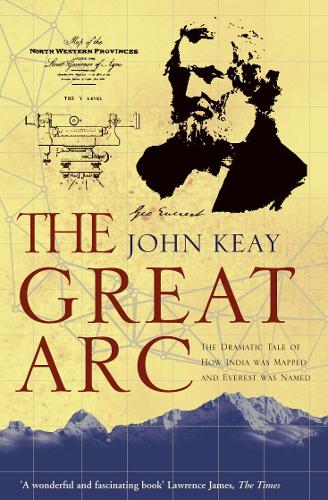
The graphic story of the measurement of a meridian, or longitudinal, arc extending from the tip of the Indian subcontinent to the mountains of the Himalayas. Much the longest such measurement hitherto made, it posed horrendous technical difficulties, made impossible physical demands on the survey parties (jungle, tigers, mountains), and took over 50 years. But the scientific results were commensurate, including the discovery of the world's highest peaks and a new calculation of the curvature of the earth's surface. The Indian Mutiny of 1857 triggered a massive construction of roads, railways, telegraph lines and canals throughout India: all depended heavily on the accuracy of the maps which the Great Arc had made possible. A vivid description of one of the most ambitious scientific projects undertaken in the 19th century, and the men who undertook the measurement of the Himalayas and the mapping of the Indian subcontinent: William Lambton and George Everest.
Author Bio
John Keay was formerly a special correspondent for the Economist, and a documentary-maker for the BBC. He is the author of several books on the Indian subcontinent, including the bestselling India: A History. He lives in Argyll, Scotland.
