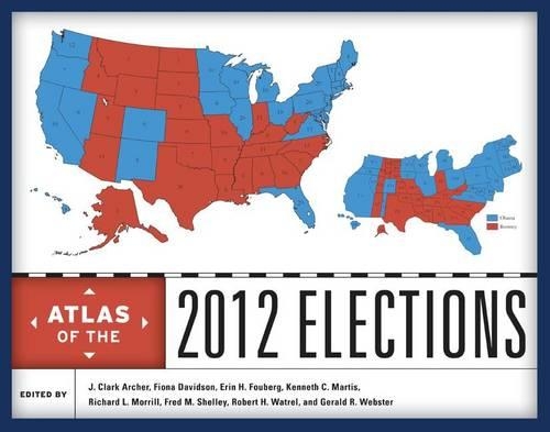
Atlas of the 2012 Elections
(Hardback)
Publishing Details
Atlas of the 2012 Elections
By (Author) J. Clark Archer
Edited by Fiona M. Davidson
Edited by Erin H. Fouberg
Edited by Kenneth C. Martis
Edited by Richard L. Morrill
Edited by Fred M. Shelley
Edited by Robert H. Watrel
Edited by Gerald R. Webster
Bloomsbury Publishing PLC
Rowman & Littlefield Publishers
26th September 2014
United States
Classifications
General
Non Fiction
Constitution: government and the state
Geographical reference works
324.9730932
Physical Properties
Hardback
320
Width 228mm, Height 276mm, Spine 25mm
1184g
Description
The presidential election of 2012 was hotly contested, with polls showing President Barack Obama and Governor Mitt Romney neck-and-neck at various points during the campaign. In the end, Democrat Obama won reelection by nearly four percentage points at the national level; he won 26 states and the District of Columbia to Republican Romneys 24 states. Obamas victory confirmed that the election of the first African American president in 2008 was not a fluke, suggesting that racial attitudes in the United States have indeed matured in the recent past. Bringing together leading political geographers and political scientists, this authoritative atlas analyzes and maps the campaigns, primaries, general election, and key state referenda in the 2012 elections. The contributors offer a comprehensive and detailed assessment of a wide array of election issues and results including presidential primaries; newspaper endorsements and campaign stops; the results of the presidential election at the regional and national levels; and key voting patterns by race and ethnicity, religion, occupational groups, age, and poverty. Moving beyond the national race, the atlas examines important senatorial and gubernatorial races and considers selected state referenda including the marijuana votes in Colorado and Washington and same-sex marriage referenda in Maryland, Washington, Colorado, and Minnesota. The voting patterns identified in 2012 elections are also compared to earlier contests to provide political and geographic context over time. Illustrated with nearly 200 meticulously drawn full-color maps, the atlas will be an essential reference and a fascinating resource for pundits, voters, campaign staffs, and political junkies alike.
Reviews
This geographic overview of the 2012 general election examines the process at many different stages and locations. Essays treat such topics as electoral structuresreapportionment, the Electoral College, and redistrictingand the key Republican primary elections, notably Iowa, Florida, and Ohio. Some of the 40 contributors (mostly academic geographers or political scientists) address the Obama and Romney campaigns in detail, covering donor contributions, campaign stops, the debates, and newspaper endorsements. Others examine the outcomes from regional, state, county, metropolitan, and suburban perspectives; from the point of view of Hispanic, African American, or Asian American subgroups; or in terms of religion, e.g., how the Bible Belt responded. One chapter is devoted to issues such as congressional voting on the environment, the farm bill, foreign policy, and health care. Specific state and local elections of consequence are also treated, e.g., Scott Brown in Massachusetts or the Virginia, Indiana, Wisconsin, North Dakota, and Montana Senate elections. Also covered are the key referenda of 2012, including same-sex marriage and marijuana legalization. The full-color maps are clear and numerous, and the final chapter explains the cartographic methodology. This reference tool will help readers at all levels to quickly isolate the issues of lasting importance. Summing Up: Highly recommended. Undergraduates and graduate students; general readers; professionals/practitioners * CHOICE *
[T]he maps are well done and make this a unique work. These visualizations of county-level election data are unrivalled. . . .The Atlas of the 2012 Elections is highly recommended for students and scholars of political science and to practitioners in the field of politics and government. The pricing is accessible for many libraries although the work is best suited to academic libraries and public libraries with patrons interested in politics and government. * s *
Author Bio
J. Clark Archer is professor of geography at the University of Nebraska, Lincoln. Fiona Davidson is associate professor of geosciences at the University of Arkansas. Erin H. Fouberg is professor of geography at Northern State University. Kenneth C. Martis is professor of geography at West Virginia University. Richard L. Morrill is professor emeritus of geography at the University of Washington. Fred M. Shelley is professor of geography at the University of Oklahoma. Robert H. Watrel is associate professor of geography at South Dakota State University. Gerald R. Webster is professor of geography at the University of Wyoming.
