Thames Path: with Ordnance Survey mapping (A-Z Adventure Series)
(Paperback, 4th Revised edition)
Publishing Details
Thames Path: with Ordnance Survey mapping (A-Z Adventure Series)
By (Author) A-Z Maps
HarperCollins Publishers
HarperCollins
28th January 2026
4th Revised edition
United Kingdom
Classifications
General
Non Fiction
Travel and Leisure maps
Physical Properties
Paperback
80
Width 134mm, Height 240mm, Spine 5mm
270g
Description
The A-Z Adventure series features the accuracy and quality of Ordnance Survey's 1:25000 mapping in a convenient book, therefore eliminating the need to fold and re-fold a large sheet map to the desired area.
OS 1:25000 is Ordnance Survey's most detailed mapping, showing public rights of way, open access land, national parks, tourist information, car parks, public houses and camping and caravan sites.
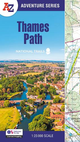
The Thames Path is a National Trail which covers 296km (184 miles) and follows the length of Englands longest river, the Thames, from its source in the Cotswolds to the Thames Barrier in Greenwich, London.
This A-Z Adventure Atlas of the Thames Path features 60 pages of continuous Ordnance Survey mapping providing complete coverage of the Thames Path. Clearly highlighted in yellow, the route is easy to identify and shows both north and south bank alternatives. In addition mileage markers have been introduced to the map making it easy to gauge distances when planning your own sections of the walk to enjoy.
A route planner is also included providing distances between places and the amenities available, featuring:
Information Centres
Hotels/B&Bs
Youth Hostels
Campsites (seasonal opening)
Restaurants
Public Houses
Cafes (seasonal opening)
Shops
Petrol Stations
Unlike OS sheets, this A-Z Adventure Atlas includes a comprehensive index to towns, villages, hamlets and locations, natural features, nature reserves, car parks and youth hostels, making it quick and easy to use. Each index entry has a page reference and a six figure National Grid Reference. With a book size of 240mm x 134mm it is the same size as the standard folded OS map.
Also featured is advice on safety and security when walking, details of Tourist Information Centres and a selection of QR codes linked to useful web sites.
This A-Z Adventure Atlas has the accuracy and quality of OS 1:25000 mapping indexed within a book, making it the perfect companion for walkers, off-road cyclists, horse riders and anyone wishing to explore the great outdoors.
Other National Trails available within the A-Z Adventure series: Coast to Coast, Cotswold Way, Pembrokeshire Coast Path, Pennine Way, South Downs Way, The Ridgeway and SW Coast Path.
Author Bio
Geographers' Map Company Ltd. (A-Z Maps) was established in London on 25 August 1936. The company's most famous publication, the iconic A-Z Atlas and Guide to London, was created by Phyllis Pearsall, the founder of A-Z, who explored every street in London to create the first edition. Since then, A-Z has become the trusted source for street maps and atlases, as well as developing Visitors' Guides, Road Atlases and the Adventure Map series for walkers.
